How Sonar Technology Helps Us See Below the Surface
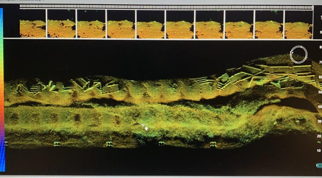
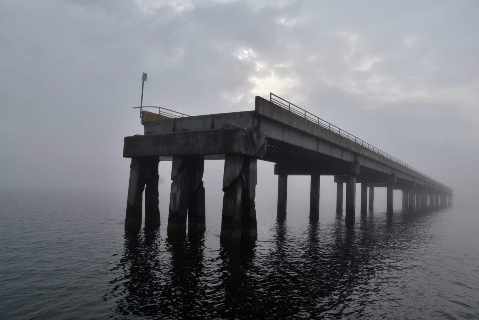
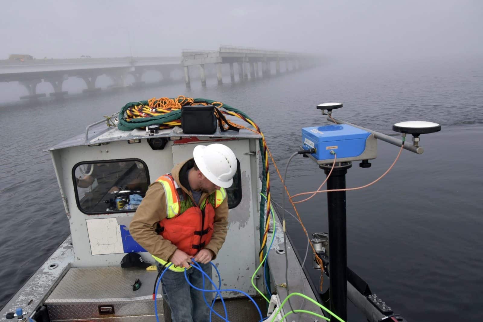
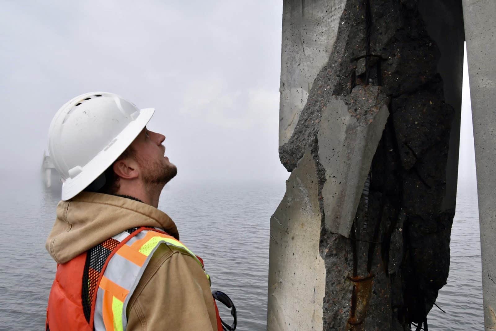
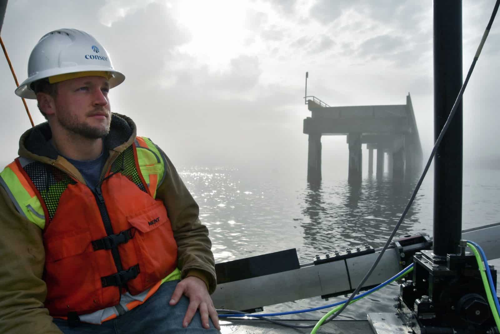
Did you know that sound waves travel faster in water than radar or light waves? Sonar (sound navigation and ranging) uses sound waves to efficiently map what’s below the surface, like the floors of oceans, rivers, and lakes. In the engineering industry, this technology can help inspect large structures like bridges, docks, piers, and dams, even when murky waters make gathering images difficult.
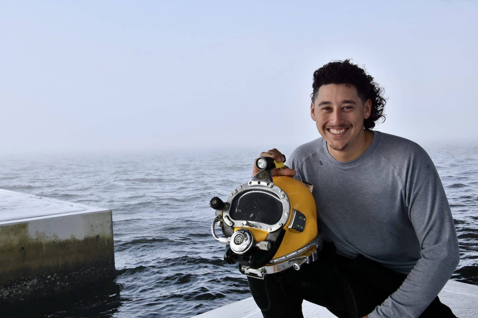
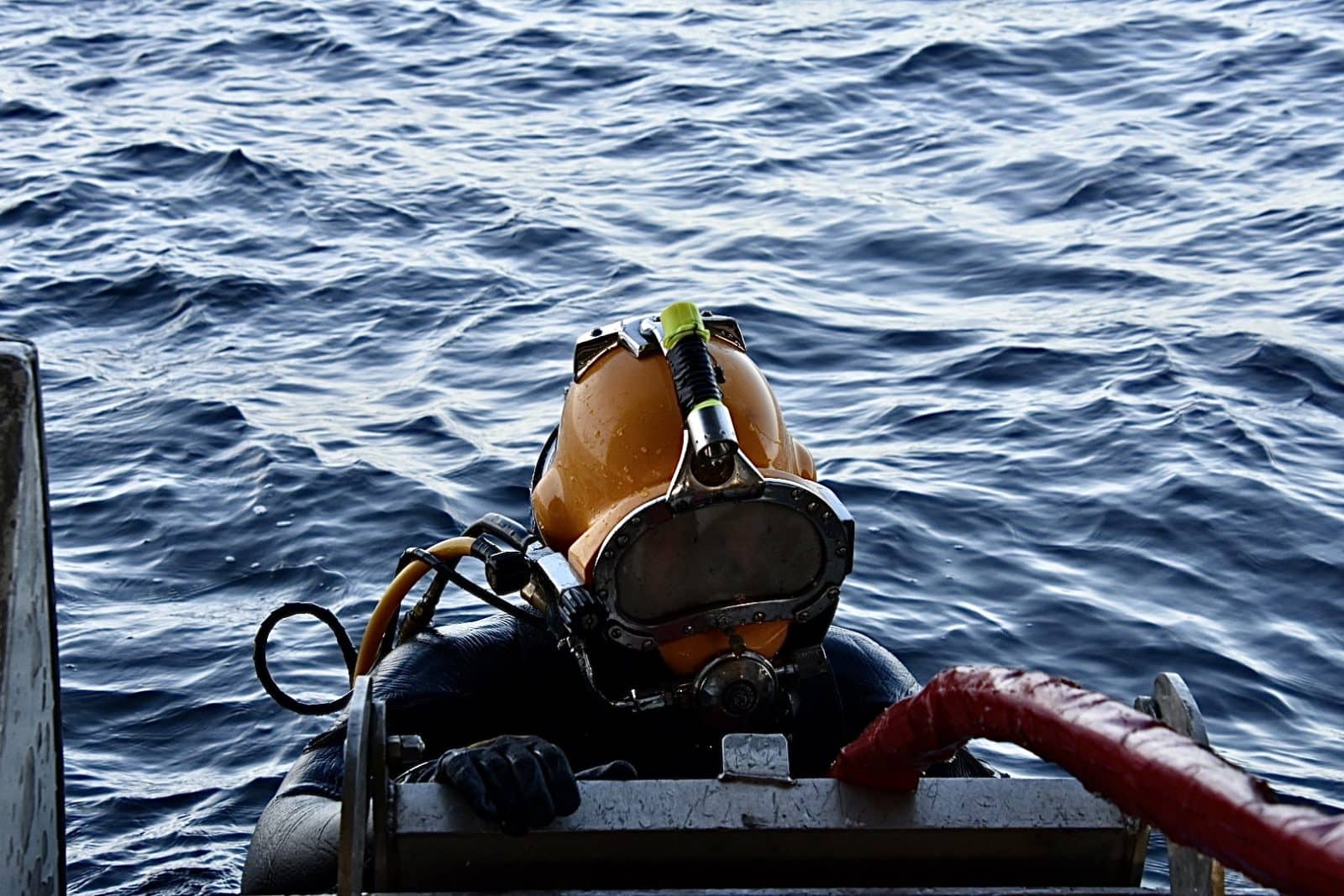
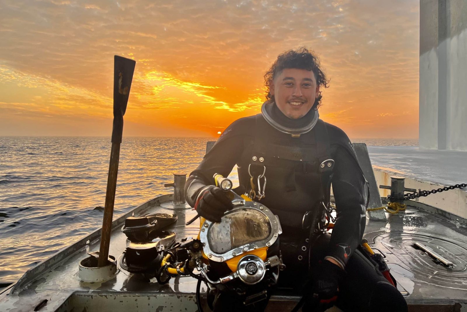
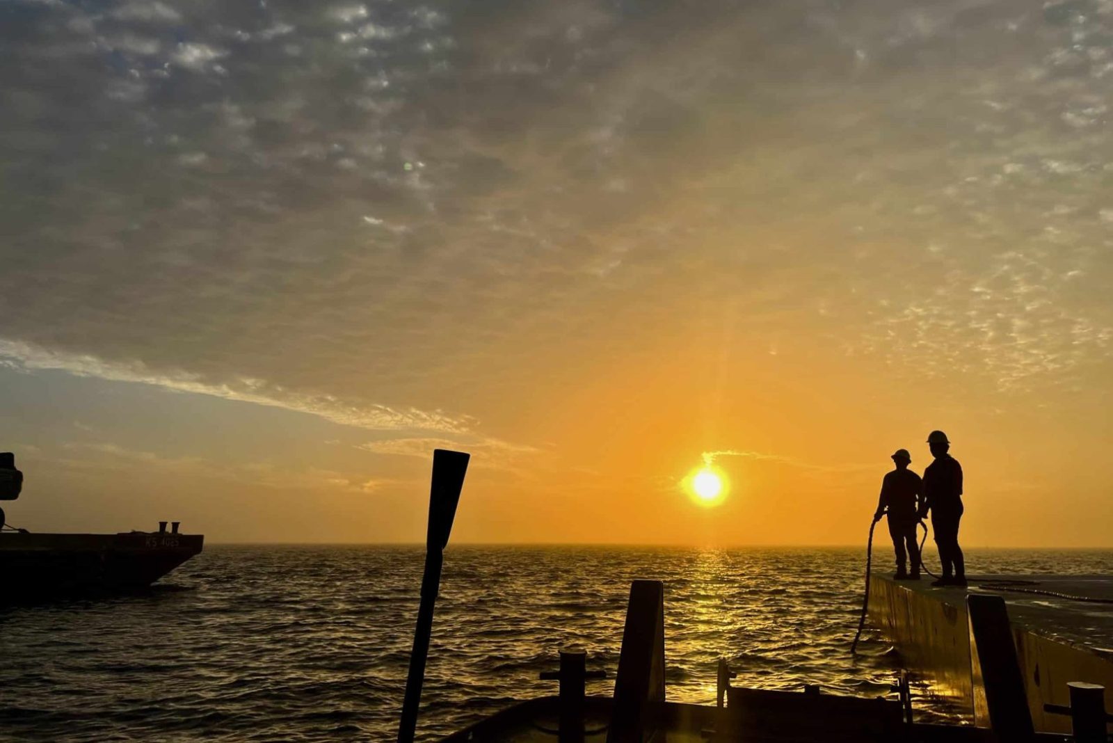
Always looking for the most efficient and effective method to collect accurate data, Consor’s structural assessment team recently used sonar to inspect a 250-foot-wide path along the ocean floor that stretched for more than three miles in Pensacola, Florida. In just three days, the team collected enough data to digitally reconstruct the ocean floor in 3D. Paired with hands-on inspection by our structural assessment and diving teams, we were able to determine the exact location and dimensions of any objects within the survey area.
Did you know that sound waves travel faster in water than radar or light waves? Sonar (sound navigation and ranging) uses sound waves to efficiently map what’s below the surface, like the floors of oceans, rivers, and lakes. In the engineering industry, this technology can help inspect large structures like bridges, docks, piers, and dams, even when murky waters make gathering images difficult.
Always looking for the most efficient and effective method to collect accurate data, Consor’s structural assessment team recently used sonar to inspect a 250-foot-wide path along the ocean floor that stretched for more than three miles in Pensacola, Florida. In just three days, the team collected enough data to digitally reconstruct the ocean floor in 3D. Paired with hands-on inspection by our structural assessment and diving teams, we were able to determine the exact location and dimensions of any objects within the survey area.